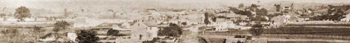
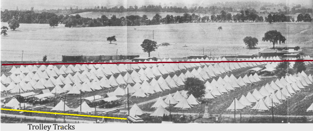
Ohio monument shown below would be the the location of the Emmitsburg Road heading southward. Along the road would be the trolley tracks (shown in yellow) with a trolley entering the picture. The red line past the tents would be the steam-locomotive railroad of the Gettysburg and Harrisburg Railroad towards the spur in town. The kris-cross of these two tracks would be near the Colonel George Ward monument just north of the Codori farmhouse.
The trolley would continue along the Emmitsburg road towards the Peach Orchard. Right before it reached it, it would turn east towards the Wheatfield. It would look towards the wooden area just east of the Rose Farm. The trail that still exists near the Loop and Rose Woods is the old trail bed of the trolley. It would go through the woods and come out around the bend near the outskirts of Devil’s Den.
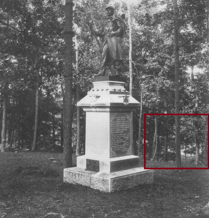
Here is a picture of the trolley railway through the trees near the 53rd Pennsylvania on Brooke Avenue. Below the monument is a large elevation change down the side of the hill. At the bottom of the hill is a trail that once was the trolley tracks. In this picture, you can see the trolley tracks through the trees.
The trolley would then wrap around Devil’s Den and go towards the now debatable “Beaver’s Lake” across the Valley of Death. The trolley would then continue towards the left side of Little Round Top and move along the side of the hill towards Round Top Park.
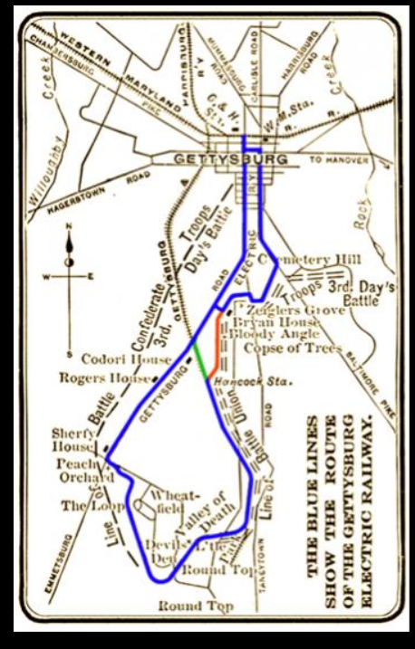
Here is a map of the trolley route from Gettysburg to Round Top Park. The blue line shows the route of the trolley.