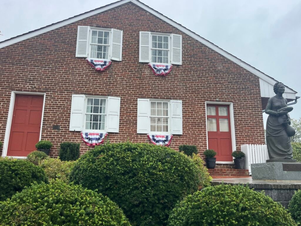
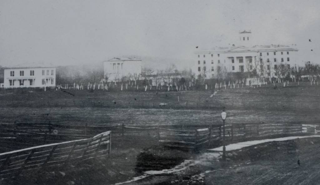
Heading south from the town square in Gettysburg along Baltimore Street takes you past homesteads within the 1860s. As you walk past the Tillie Pierce Inn, the Shriver house, the Farnsworth house, and the Wentz house, you get the feeling of walking in their footsteps. As you climb the hill heading onto East Cemetery Hill, you stare at a two-story duplex that is called the Jennie Wade House.
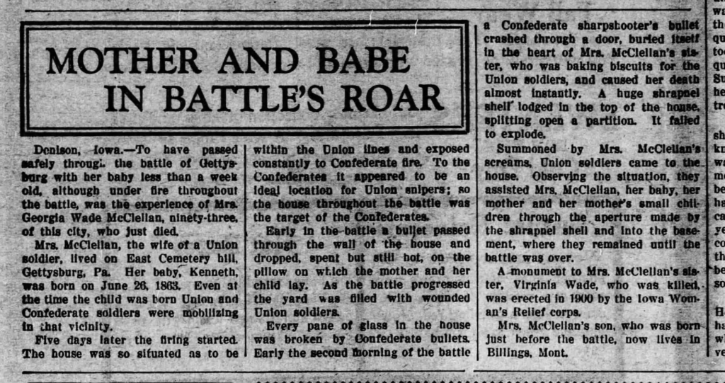
Georgia Wade McClellan gave birth on June 26th to Louis Kenneth McClellan, and it was a difficult labor. Due to the hardness of the pregnancy, the doctor told Georgia to stay in bed for ten days. With her mother Mary Ann Filby Wade and her sister, Jennie, only a few hundred yards away on Breckenridge Street, they moved to this house to take care of Georgia. Georgia and Jennie’s father, Captain James Wade was in the Alms House north of the town square in what was an alyssum for the insane. He was unaware of the battle and the outcomes of his family until many months after July 1863.
The battle started on July 1st and lasted through July 3rd. Union soldiers were behind the house while Confederate soldiers were near what is now Mr. G’s ice cream shop and the Farnsworth House. The house itself has over hundred bullet holes from Confederate soldiers shooting at Union soldiers passing past the house trying to “pick them off” from a distance. Some of the bullets hit the windows, the bedframe, the mantle, and the doors of the house causing Georgia, Jennie, and Mary to be quite concerned about the battle outside.
Jennie Wade was preparing bread for the family and the Union soldiers outside the house. As she read from the bible, she told Georgia and her mother Mary the following: “If there is anyone in this house that is to be killed today, I hope it is me, as Georgia has that little baby.” Sadly and poetic, it occurred a few minutes later. A Confederate sharpshooter must have seen a Union soldier run past the door. One bullet traveled through the kitchen door and parlor door, and hit Jennie in the left shoulder blade, went through her heart, and ended in her corset. Jennie was killed instantly and fell to the floor.
Fast-forward to the present day, residents and visitors to Gettysburg still visit and travel through the house of Georgia Wade McClellan. They hear the stories of Georgia and Jennie Wade. The paranormal does exist within the house and the basement. Here are the following things that can be seen or heard:
- the smell of freshly baked bread, perfumes, and cigar smoke
- faint moaning of children in the house and cellar
- thumping and walking up the original wooden staircase
- wooden shoes in pictures
- hearing the sound of movement or clothing throughout the house
- voices of men, women, and children
- shadows and full-figured apparitions
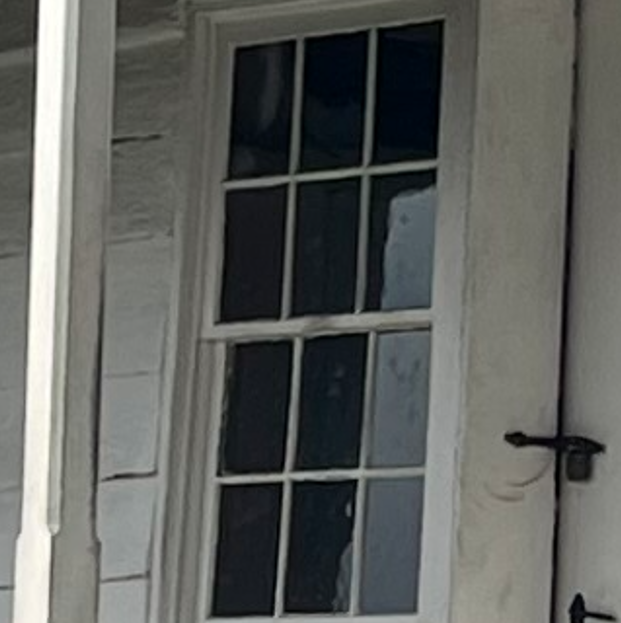
- Captain James Wade looking out the window or in the basement
Everything single room has it’s own history, sadness, and paranormal activity. What have you heard on your experience within the Jennie Wade House?